
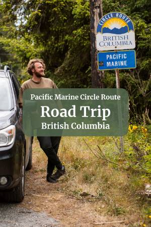
Day 1: Victoria and Sooke
Whether you're waking up in Victoria, or getting in on an early ferry, this is where our trip starts and stops. Gotta love a road trip loop!
Victoria

If you're starting from Victoria, use the morning to take in the city before you head west. The Inner Harbour is the obvious starting point. Parliament Buildings, float planes, street performers and vendors doing their thing on the waterfront. From there, walk up to Chinatown. Fan Tan Alley is worth ducking into. It's technically the narrowest commercial street in Canada and somehow home to a handful of good little shops. If you're there on a weekend morning, grab dim sum on Fisgard Street before you leave.
Leave Victoria by late morning and head west on Highway 14 toward Sooke.
Sooke

For your first night, Sooke is your base. It's a small town, but the surrounding wilderness has enough going on to keep you busy for days, and it sits right at the start of one of the best drives on the island.
Before dinner, you have a choice about how to spend your afternoon. East Sooke Regional Park is 25 minutes from town and gives you a rugged coastal trail, petroglyphs, old-growth forest, and a white sand beach that is one of the best swimming spots on the South Island. The hike from Aylard Farm to Creyke Point and back out through Aldridge Point takes about two hours and covers the best of the park without rushing anything.
Sooke Potholes is the easier option if you'd rather ease into the trip. Crescent Beach is one of the best river swimming spots in the region, and the potholes viewpoint is worth the short walk up.
They are both great options, but I would personally go with East Sooke Park. You can check out our dedicated guides to both parks to help decide between them and to get all the details you need to plan your day:
For dinner, Stoked Wood Fired Pizza is the move. Thin crust, wood-fired, done well without any fuss about it. The vegan surprise option, which is just whatever the chef chose that day, has been excellent every time we've ordered it.

If the evening still has some light in it, the walk out to Whiffin Spit is worth adding. A narrow gravel spit that juts into the Strait of Juan de Fuca with water on both sides and the Olympics across the water. It takes about 20 minutes out and back, and it's a good way to end the day.
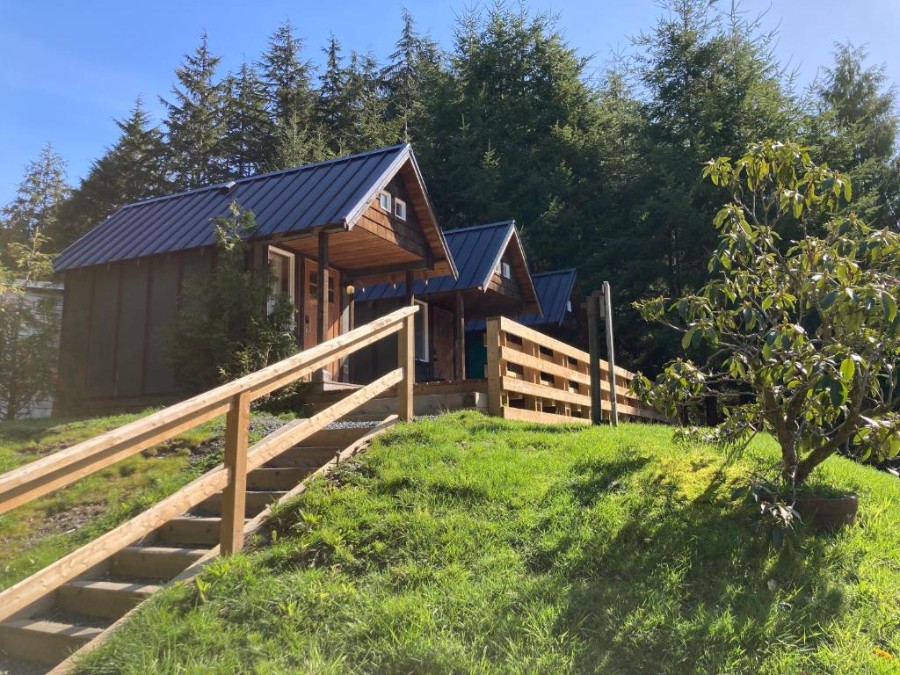
Where to Stay In Sooke

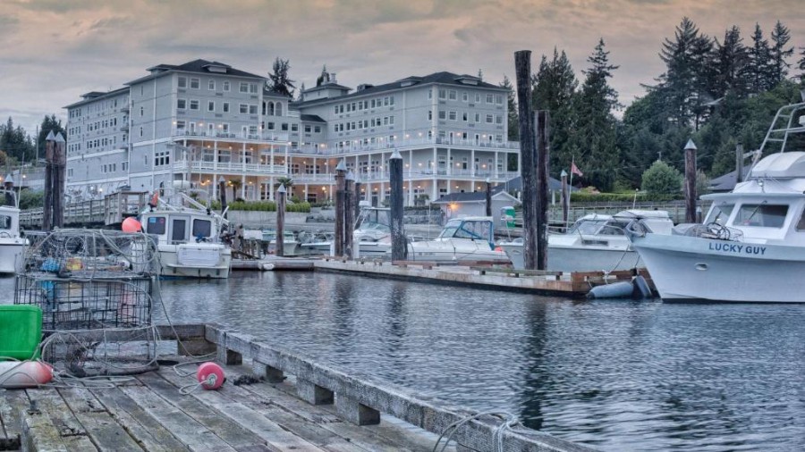
Sooke Harbour House is our top pick as a base for this itinerary and one of the better properties on the South Island. It sits right on the water overlooking the Whiffin Spit. The restaurant has a strong reputation, and the location puts you within easy reach of all three days of activities. Book well in advance for summer weekends.
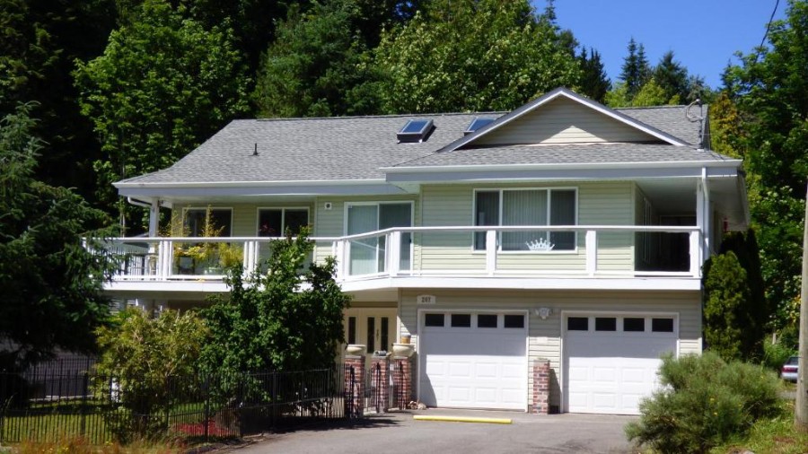
There are a few other high-end options in town as well:
Prestige Oceanfront Resort
Check Availability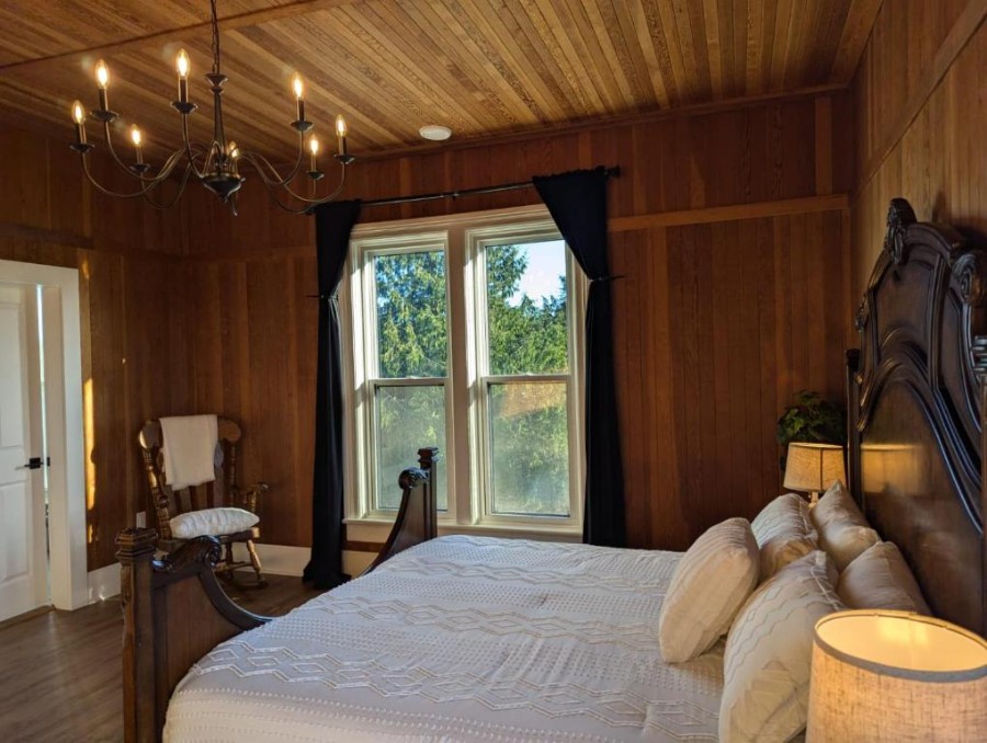
Woodside Farm Country Inn
Check AvailabilityDay 2: Highway 14 to Port Renfrew

Today is the main event, and the most important thing to sort out before you plan anything else is the tide schedule for Botanical Beach. Check it before you leave. Everything else on this highway is flexible. Botanical Beach at low tide is not. Lock in when you need to be there and build the rest of the day around it.
Botanical Beach must be done at low tide because that is the only time that the tide pools are visible, and that is the main draw here. Ideally, you want to be in the parking lot ready to start the hike about 30 minutes before peak low tide. If the low tide is quite early in the day during your visit, I would suggest saving Botanical Beach for the morning of Day 3, but if the low tide is late in the day, it will be better to move the last few stops from Day 2 into Day 3 and make it to Botanical Beach when the tide is low today.
In this guide, we give a brief overview of each of the highlight stops because we are fitting this into a condensed schedule. For more details about each stop, and for some bonus stops you can consider if you have extra time, check out our Comprehensive Juan de Fuca Guide.
Shirley Delicious

Regardless of the tides, start with breakfast at Shirley Delicious, about halfway between Sooke and Jordan River. The food is excellent, the garden patio is a great place to sit, and almost everyone eating there is doing some version of the same drive you're on. They close the kitchen at 2 pm and are shut on Tuesdays, so check before you go.
Sheringham Point Lighthouse


An optional add-on here is Sheringham Point Lighthouse. Getting there requires a short drive down a narrow road just past Shirley Delicious. Take the drive slowly because the road is quite narrow, but still has 2 way traffic.
The grounds are free to visit, but there is an optional donation at the entrance if you want to contribute to the maintenance of the site. The walk from the small parking area to the lighthouse takes about five minutes along a flat gravel path and then a short descent to the shore.
The lighthouse is staffed by volunteers from the Sheringham Point Lighthouse Preservation Society, who have been restoring and maintaining the site for years. If the gate is open and someone is around, they are generally happy to talk about the history of the lighthouse and the restoration work.
There is a small museum next to the lighthouse as well, if you want to delve more into the history.
Jordan River


Next, continue west. The Jordan River is worth a brief stop. Cold Shoulder Coffee is right by the beach, open from 9 am to 4 pm, closed Wednesdays and Thursdays. Get a coffee, walk down to the beach, and spend 20 minutes looking at the coast. The effort-to-reward ratio is hard to beat.
Sandcut Falls

Sandcut Falls is the next worthwhile stop. Free parking, a short walk down to the beach, and then 15 to 20 minutes west along the rocky shore until you will find the falls that drop directly off the sandstone cliffs onto the beach below. Same caveat for every waterfall on this route: visit after recent rain for the best waterfall effect. During dry spells, all of the waterfalls along the route dry up quite a bit.
Mystic Beach

Mystic Beach is the most talked-about stop on the highway, and for good reason, but a few things are worth knowing. The trail from the parking lot is a real hike, not a flat path to the sand. Rooty, sometimes muddy, 45 minutes each way at a comfortable pace. Proper shoes, bear spray, and plenty of water are not optional.
A note on the waterfall: the Instagram videos of powerful falls and people frolicking in the mist were almost certainly filmed in early spring after significant rainfall. In a dry summer, the falls can reduce to barely a trickle. The beach at sunset is worth the hike regardless of what the waterfall is doing, but manage your expectations.
Sombrio Falls


Sombrio Falls is actually my personal favourite stop from day 2. The falls sit at the end of a mossy canyon that is essentially a cave, with a massive fallen tree spanning the opening and so much debris piled on top that almost no light gets in. The only opening is at the far end, which creates a kind of spotlight effect directly on the water.
Getting there takes some effort. From the highway, a rough, unpaved road leads to a parking lot. From there, a short, steep path takes you down to the beach. Turn left. Walk past the first creek. At the second creek, follow the water into the forest and look for a scraggly little path up into the canyon. It gets wet (like walking through the stream wet). Plan for that. If you're not confident you'll spot the turn-off, open Strava and look at the heatmap before you leave the parking lot. You'll clearly see where people turn off the beach into the forest.
Port Renfrew

Tonight you're staying in Port Renfrew. It's a small, unhurried place at the end of the highway with a charming pub where you can grab dinner and a long white sandy beach just past town that's worth seeing before you settle in for the night.
Top Accommodation Picks In Port Renfrew

Bjørn Holm
Check Availability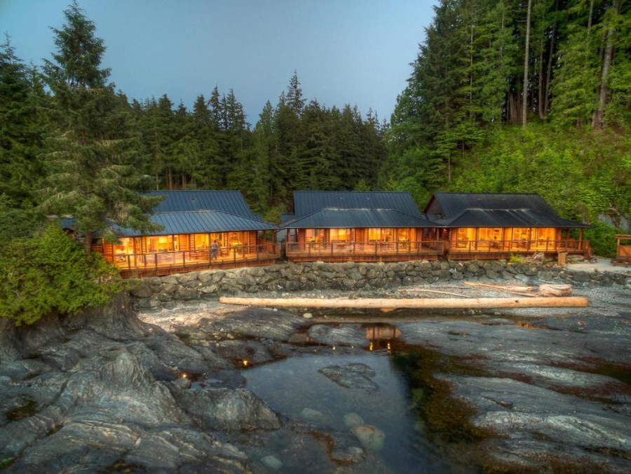
Wild Renfrew Seaside Cottages
Check AvailabilityTop Budget Accommodation In Port Renfrew
The Hiker Huts
Check AvailabilityDay 3: Botanical Beach and Into the Cowichan Valley

Botanical Beach is possibly the best stop on the entire highway, but it requires careful timing.
Aim to be in the parking lot about 30 minutes before the predicted low tide. That gets you to the beach just as the water is pulling back to its lowest point and gives you the longest window to explore. At low tide, you can walk out onto the exposed rocky sea floor, which is freckled with tidal pools carved into the rock. Each one is a self-contained little aquarium of real marine life: sea grass, starfish, sea anemones, and even multi-coloured sea urchins in the deeper ones. You can easily spend two hours working your way along the coast. Watch where you step and don't touch anything. The ecosystem is fragile, and the rules are strictly enforced.
Do the loop clockwise to hit Botanical Beach first before you continue toward Botany Bay, and look for the path that cuts out to the rocky headlands on your left before you get there. The rock formations out here are layered sedimentary stone that has been tilted and twisted into shapes that look like someone threw a lasagna into the air, and the layers froze mid-fall. You can scramble around on them at low tide. As the tide comes in, waves start reaching higher up the rocks, so watch your footing and stay well back from the shoreline.
If you're visiting in late May or early June, keep an eye on the water and listen for the sound of whales exhaling. Grey Whales feed close to the shore in those windows, and on a calm day, you can get a clear view of them surfacing repeatedly.


From Botanical Beach, leave the coast behind and head north toward the Cowichan Valley. This stretch of the loop is the quietest part of the route. There are 2 worthwhile stops along this stretch
- Fairy Lake: This is the lake with the famous Bonsai Tree growing from a sunken log out in the lake. It's a pretty quick stop. There is free parking along a big shoulder by the lake, and the Bonsai tree is visible from the side of the road.
- Harris Creek Spruce: This is another quick stop, but a much larger tree. There is free shoulder parking here as well, and then a less than a five-minute walk along the trail leads you to what is probably going to be the largest tree you have ever seen. This is an ancient Spruce tree, and you can't miss it. Partly because of the sheer scale of it, but also because it is completely fenced in. The fence can't stop you from touching the tree, but please let it stop you, because the fence is there to protect the ecosystem.
Lake Cowichan

After these quick stops, we get to our final destination of the day: Lake Cowichan. I would recommend either grabbing some lunch in town or alternatively, just hitting up the grocery store and loading up on picnic supplies and taking them to the lake. Whichever you opt for, the next stop is Arbutus Park. It's one of the best swimming spots on the lake, it gets great sun all afternoon, and it has proper washrooms, changerooms, and picnic tables so you can really settle in and get comfortable for the afternoon.
If you're visiting in the late summer and you feel like something a bit more adventurous, you could also consider doing the Cowichan River tubing. Rent a tube for around $20, drift down at a pace that barely qualifies as moving, and get picked up by a shuttle at the far end.
For more details about how to cater the lake portion of your day to your preferences, check out our Comprehensive Cowichan Lake Guide, where we go more into detail about the town on the lake, the rental companies here, and all of the varied swim spots and beaches.
Tonight, I suggest either staying in Lake Cowichan or moving along and staying somewhere in Duncan.
B&B's In Lake Cowichan
Crown House B&B
Check Availability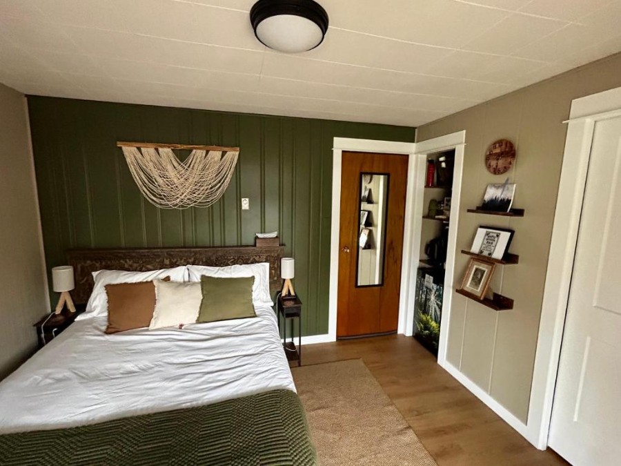
Maple Woods B&B
Check AvailabilityBudget Motel in Lake Cowichan
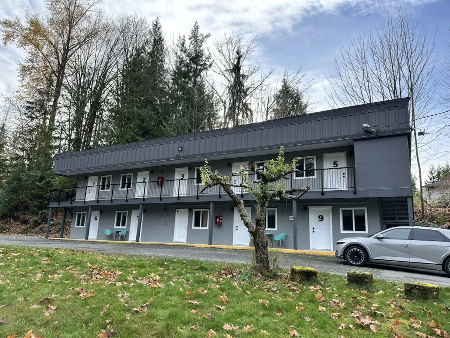
South Shore Motel
Check AvailabilityBest Standard Hotel In Duncan
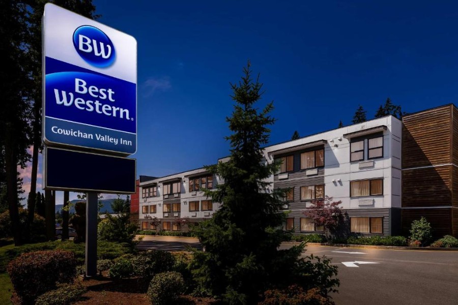
Best Western Cowichan Valley Inn
Check AvailabilityBudget Option In Duncan
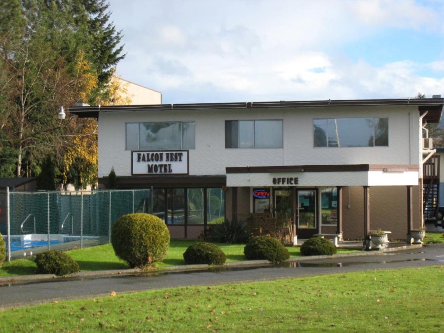
Falcon Nest Motel
Check AvailabilityDay 4: Cowichan Bay, the Kinsol Trestle, Merridale, and Home
Cowichan Bay

Start the morning at True Grain Bakery in Cowichan Bay. A serious selection of baked goods, good coffee, and a small outdoor patio to take it all to. After the bakery, walk the pier through the marina. The houseboats are worth a look if you're the type who likes peering into other people's living situations, and the view across the water is gorgeous.
Kinsol Trestle

From there, drive to the Kinsol Trestle. One of the largest free-standing wooden railway trestles in the world. The trail out and back takes between 45 minutes and an hour.
From the side you approach first when coming from the parking lot, there's an easy close-up viewpoint where you can stand at the base and look up at the full scale of it. Cross to the far side for the second viewpoint and the trail down to the riverbank, where you can look back up at the whole structure from below. That's the view that makes the walk worth doing, but it's also quite a slog back up the hill from the riverbed.
Drifters Creamery


Before you leave the area, stop at Drifters Creamery. They make the ice cream fresh each morning, and the flavour combinations show real thought. Expect a line, because this spot is just as popular with the locals as it is with the tourists.
Merridale Cidery


Merridale Cidery is the afternoon stop, and it will be a memorable one. This is BC's first craft cidery, and they were early enough that they actually wrote the regulatory framework that governs how craft cideries operate in the province. The cider range covers dry BC styles, fruit-forward options, aged batches, and seasonal slushie drinks that are as good as they sound. The back patio is dog-friendly, and the menu even has a dog-friendly dish that they call a Barkchuterie Board.
Malahat Skywalk Guide

The last stop before you head back to Victoria is the Malahat SkyWalk. It sits on a cliff above the Saanich Inlet about 30 minutes north of the city, and it fits naturally at the end of this drive because you're passing it anyway. Allow about 2 hours to take in the whole experience at a slow pace.
What is it? Well, that's kind of hard to explain. Check out our full Malahat Skywalk Guide for a more detailed explanation, but in short, it is a 600-metre elevated walkway through a forest of arbutus and Douglas-fir that leads to a ten-storey spiral tower that puts you 250 metres above sea level.
The views from the top take in Finlayson Arm, the Gulf Islands, the San Juan Islands, and, on a clear day, Mount Baker. At the summit, there's The Overhang, a glass box that juts out over the edge and moves slightly in the wind. It is certified and perfectly safe, and it will still unsettle you. And then there's the slide: 20 metres of enclosed spiral that you descend in a cloth sack faster than you'll expect. Do not skip it. Do not let anyone in your group skip it either.
One practical note: the Malahat gets fog. The views are significantly better when the inlet is visible below you. Check the forecast before you commit to the entry fee. The Malahat Summit Viewpoint is a free alternative, a few minutes up the highway. You won't get the full immersive experience, but it is a similarly great view of the landscape from here.
From the SkyWalk, it's 30 minutes back to Victoria, where you can grab dinner and either check into a hotel for the night or catch a late ferry back to the mainland.
Where to Stay In Victoria
Well Rated Spots With A Great Location

Beaconsfield Bed and Breakfast
Check Availability
Abigail's Hotel
Check AvailabilityBudget Options
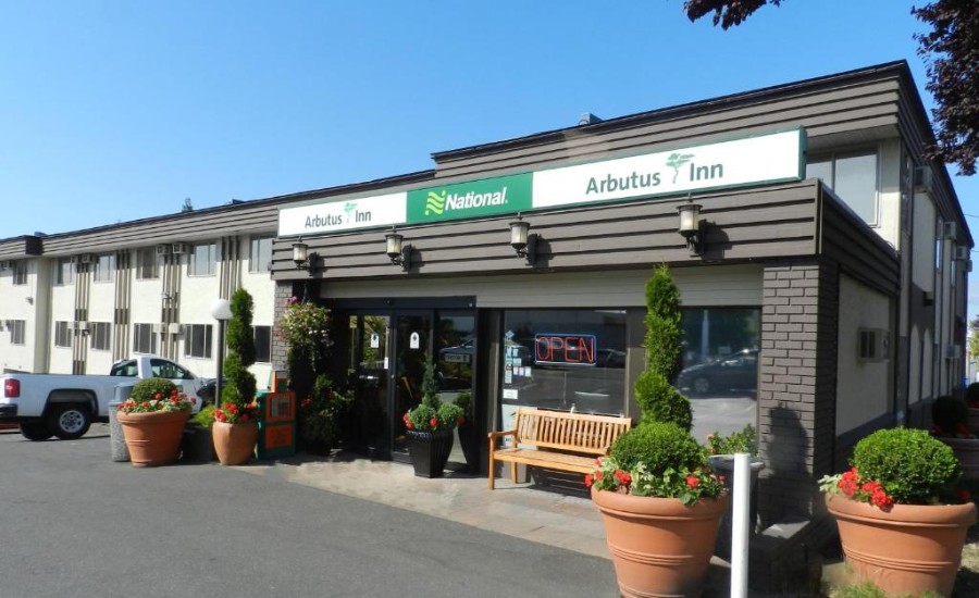
Arbutus Inn
Check Availability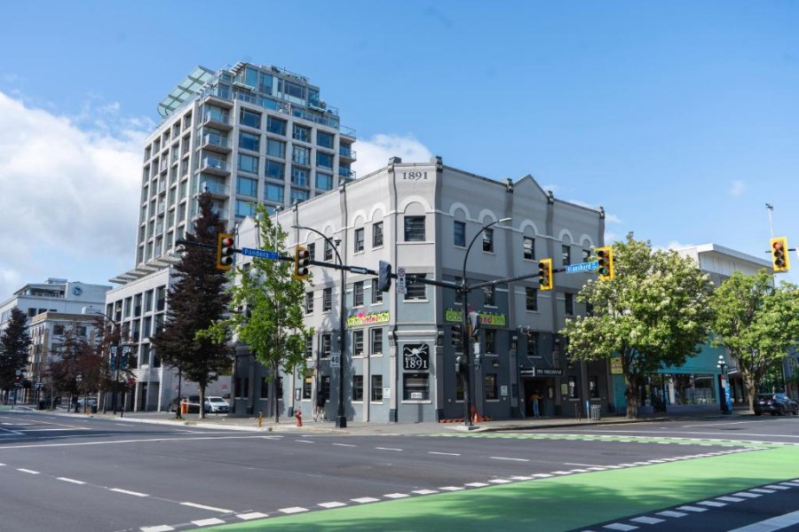
Ocean Island Inn | Backpackers | Suites
Check AvailabilityFAQ
How long does the Pacific Marine Circle Route road trip take?
When is the best time to visit Botanical Beach on the Pacific Marine Circle Route?
Do I need a car to do the Pacific Marine Circle Route?
What are the must-see stops on the Pacific Marine Circle Route?
Where should I eat on the Pacific Marine Circle Route?
Our Trusted Travel Partners
We only recommend products and services we personally use and trust.

SafetyWing
Travel medical insurance for nomads and remote workers
Booking.com
Find the best deals on hotels, apartments, and vacation rentals
AllTrails
Discover hiking trails with detailed maps and reviews
Surfshark
Secure VPN for safe browsing and accessing content worldwide
Get Your Guide
Find the best deals on tours and experiences
Airalo
Prepaid SIM cards for travelers
Trusted Housesitters
Find free accommodation by house and pet sitting worldwide
Wise
Send and receive money internationally with low fees* We may earn a commission when you make a purchase through our affiliate links, at no extra cost to you. We appreciate this support, which helps sustain our blog and allows us to create more content and help more great trips get planned!